

 Seonglae Cho
Earth Embedding, Satellite Embedding
Paper
arxiv.org
https://arxiv.org/pdf/2507.22291
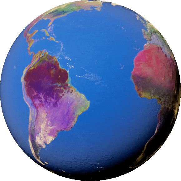
AlphaEarth Foundations helps map our planet in unprecedented detail
New AI model integrates petabytes of Earth observation data to generate a unified data representation that revolutionizes global mapping and monitoring
https://deepmind.google/discover/blog/alphaearth-foundations-helps-map-our-planet-in-unprecedented-detail/

Satellite Embedding V1
Satellite Embedding V1
The Google Satellite Embedding dataset is a global, analysis-ready collection of learned geospatial embeddings. Each 10-meter pixel in this dataset is a 64-dimensional representation, or "embedding vector," that encodes temporal trajectories of surface conditions at and around that pixel as measured by various Earth observation instruments and datasets, over a …

https://developers.google.com/earth-engine/datasets/catalog/GOOGLE_SATELLITE_EMBEDDING_V1_ANNUAL

AI-powered pixels: Introducing Google’s Satellite Embedding dataset
By Valerie Pasquarella, Research Scientist and Emily Schechter, Product Manager, Google
https://medium.com/google-earth/ai-powered-pixels-introducing-googles-satellite-embedding-dataset-31744c1f4650
