Seonglae Cho
Point Cloud Notion
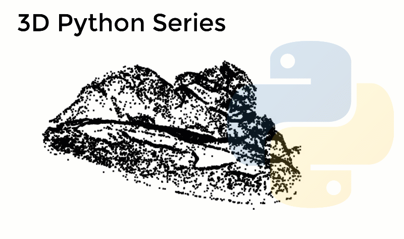
Point Cloud Tools
Open topology
OpenTopography - Find Topography Data
The map below shows the extent of datasets currently available via OpenTopography. These topographic data are available in a range of formats depending upon who acquired the data and what product types were delivered. The classes of data types available include: point cloud data, standard digital elevation models (DEMs) and Google Earth imagery files.

https://portal.opentopography.org/datasets

USGS data set
USGS 3DEP LiDAR Point Clouds
agriculture disaster response elevation geospatial lidar sustainability Description Public access Entwine Point Tiles of most resources from the arn:aws:s3:::usgs-lidar bucket. Resource type S3 Bucket Amazon Resource Name (ARN) arn:aws:s3:::usgs-lidar-public AWS Region AWS CLI Access (No AWS account required) aws s3 ls s3://usgs-lidar-public/ --no-sign-request Description A Requester Pays Bucket of Raw LAZ 1.4 3DEP data.

https://registry.opendata.aws/usgs-lidar/
hobu/usgs-lidar
This AWS Public Dataset project is about processing the USGS 3DEP LiDAR point cloud data into a form that is cloud-friendly, streamable, lossless, and convenient.
https://github.com/hobu/usgs-lidar

Mesh by LAS
5-Step Guide to generate 3D meshes from point clouds with Python
In the previous article, we saw how to set-up an environment easily with Anaconda, and how to use the GUI Spyder for managing your code. We will continue in this fashion, using only 2 libraries. For getting a 3D mesh automatically out of a point cloud, we will add another library to our environment, Open3D.

https://towardsdatascience.com/5-step-guide-to-generate-3d-meshes-from-point-clouds-with-python-36bad397d8ba