

Main
TextSymbolizer - GeoServer 2.19.x User Manual
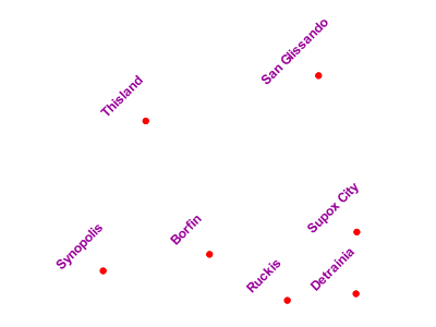
A TextSymbolizer styles features as text labels. Text labels are positioned either at points or along linear paths derived from the geometry being labelled. Labelling is a complex operation, and effective labelling is crucial to obtaining legible and visually pleasing cartographic output. For this reason SLD provides many options to control label placement.
https://docs.geoserver.org/latest/en/user/styling/sld/reference/textsymbolizer.html
Label
Labeling - GeoServer 2.18.x User Manual
When is used the geometry is labelled at a single label point. For lines, this point lies at the middle of the visible portion of the line. For polygons, the point is the centroid of the visible portion of the polygon.
https://docs.geoserver.org/stable/en/user/styling/sld/reference/labeling.html
Point
Points - GeoServer 2.18.x User Manual
This example alters the style of the points at different zoom levels. It is often desirable to make shapes larger at higher zoom levels when creating a natural-looking map. This example styles the points to vary in size based on the zoom level (or more accurately, scale denominator).
https://docs.geoserver.org/stable/en/user/styling/sld/cookbook/points.html
